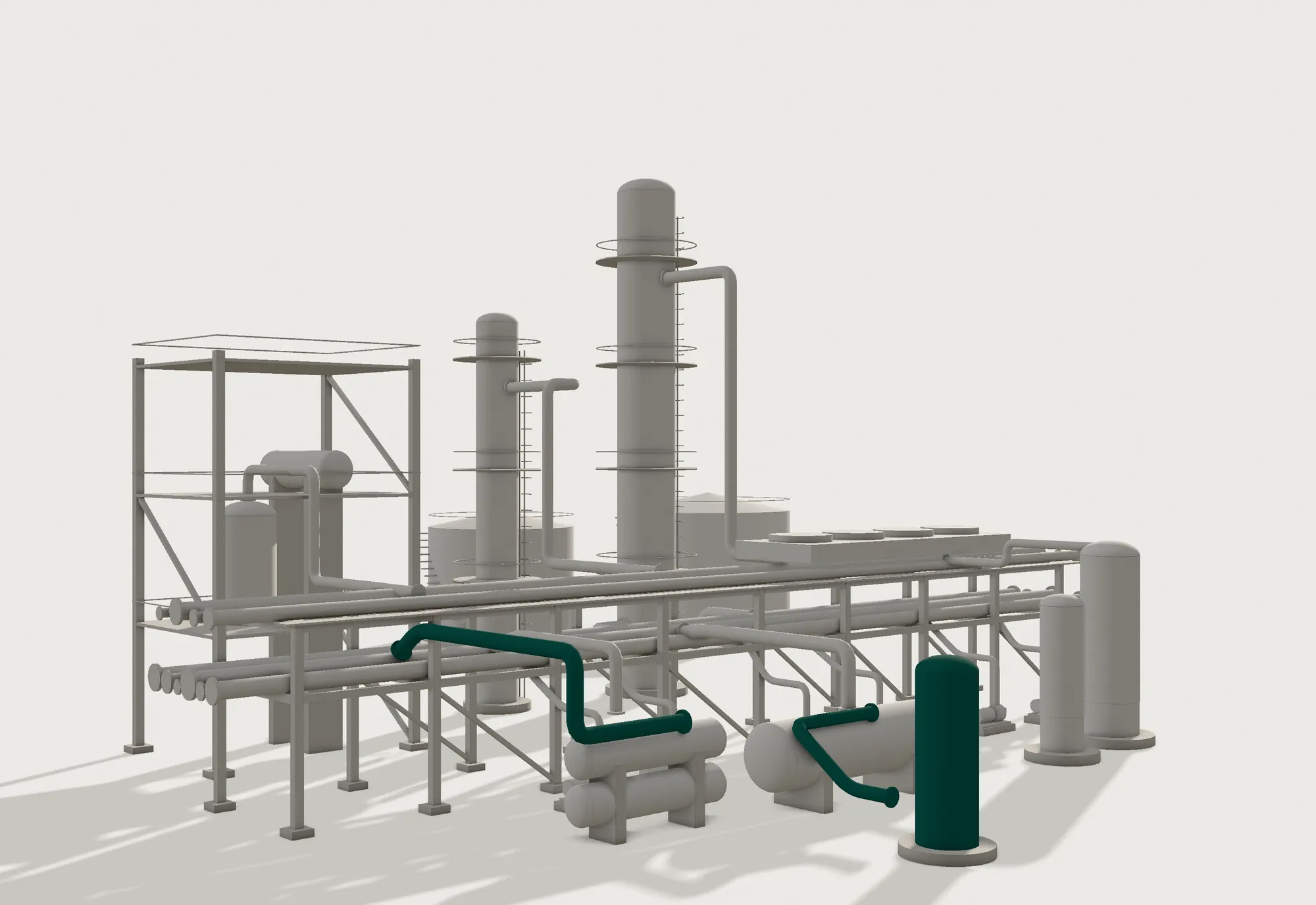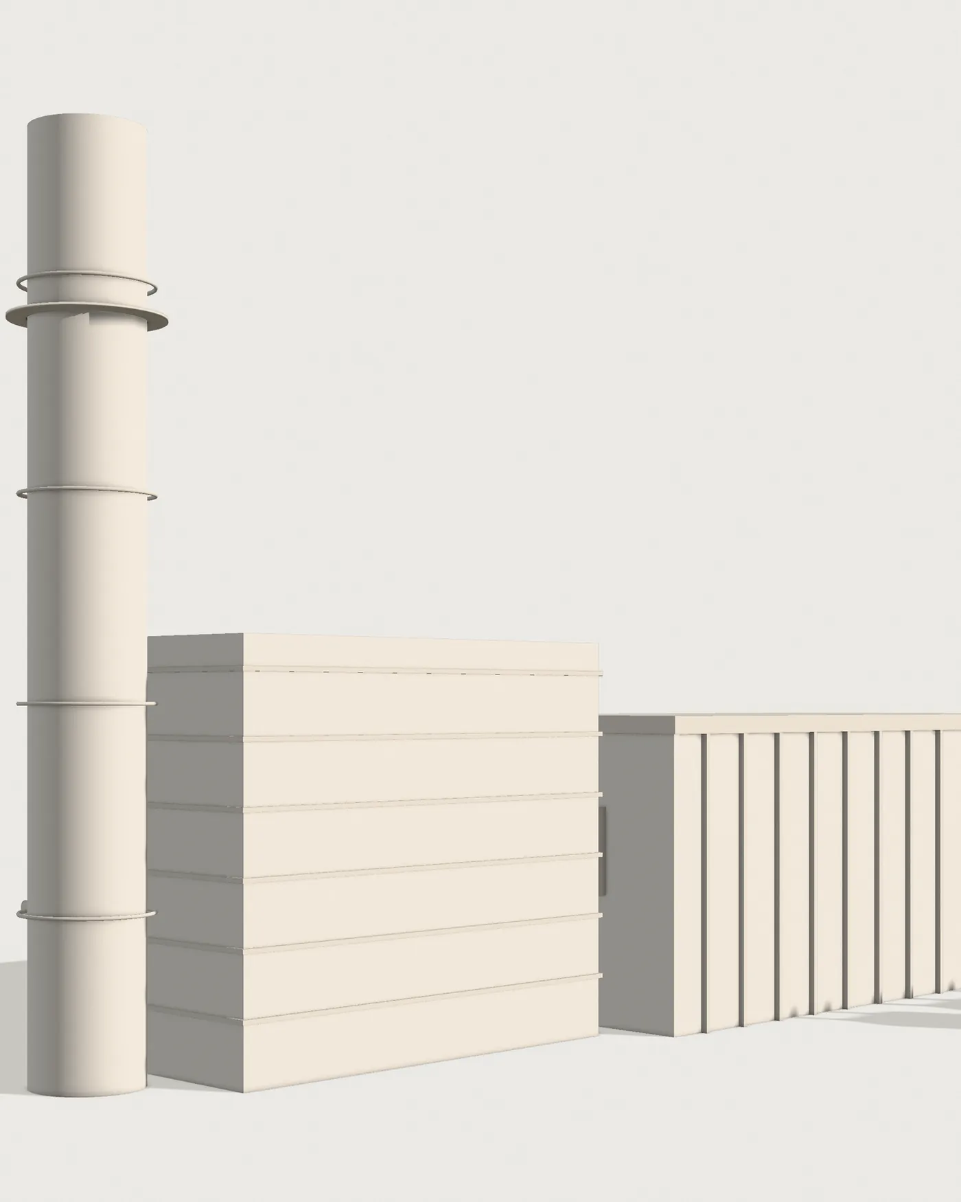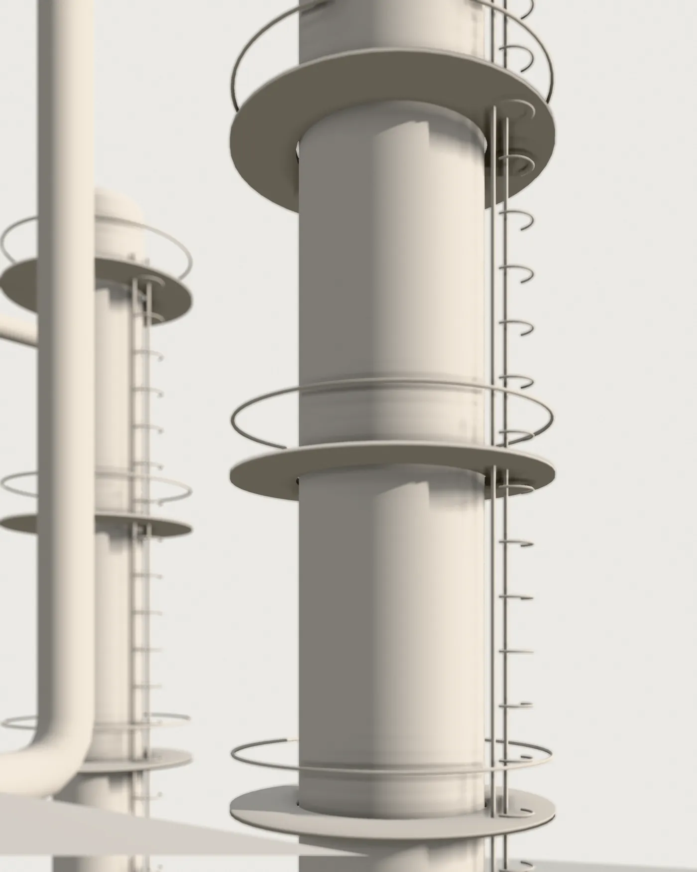
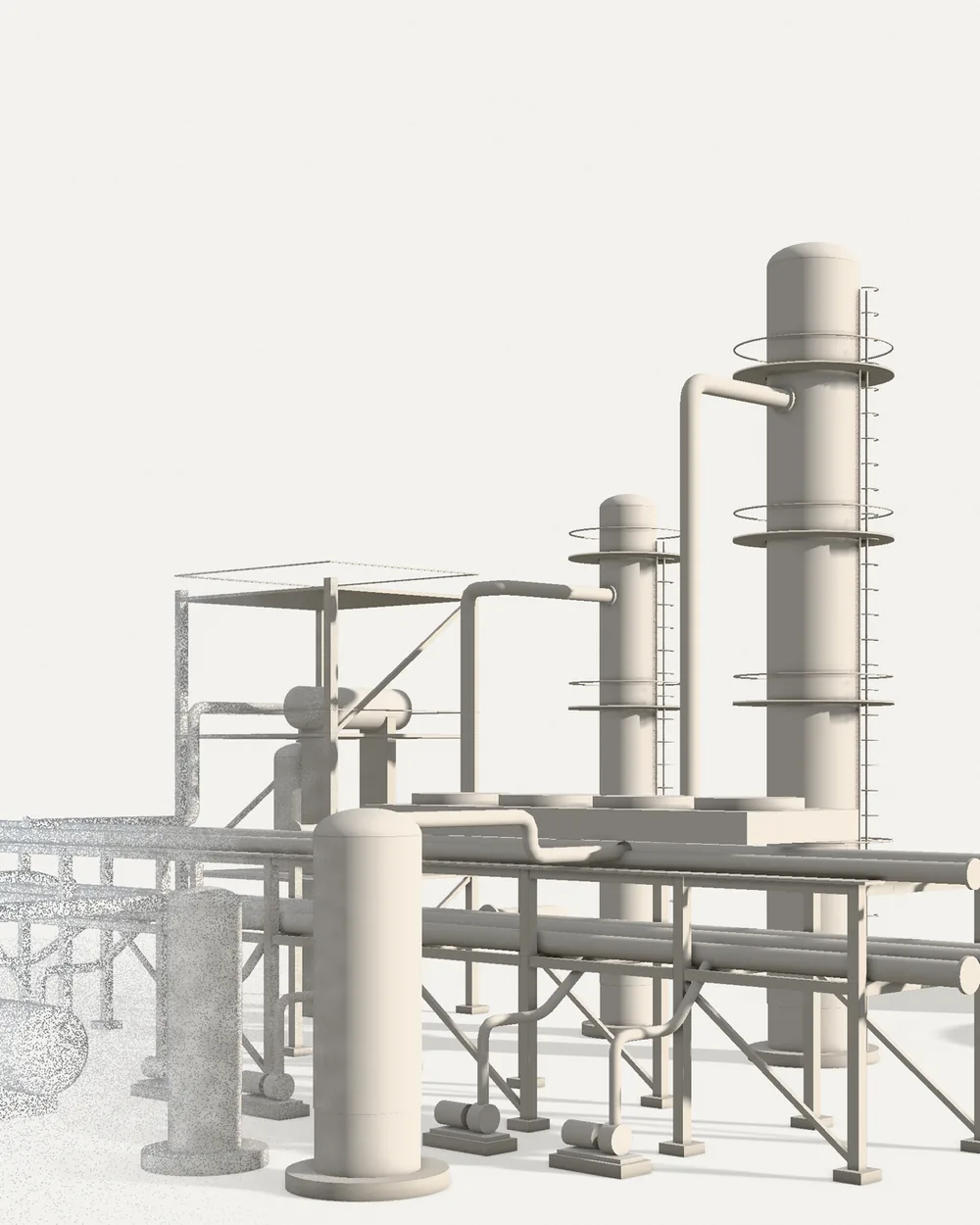
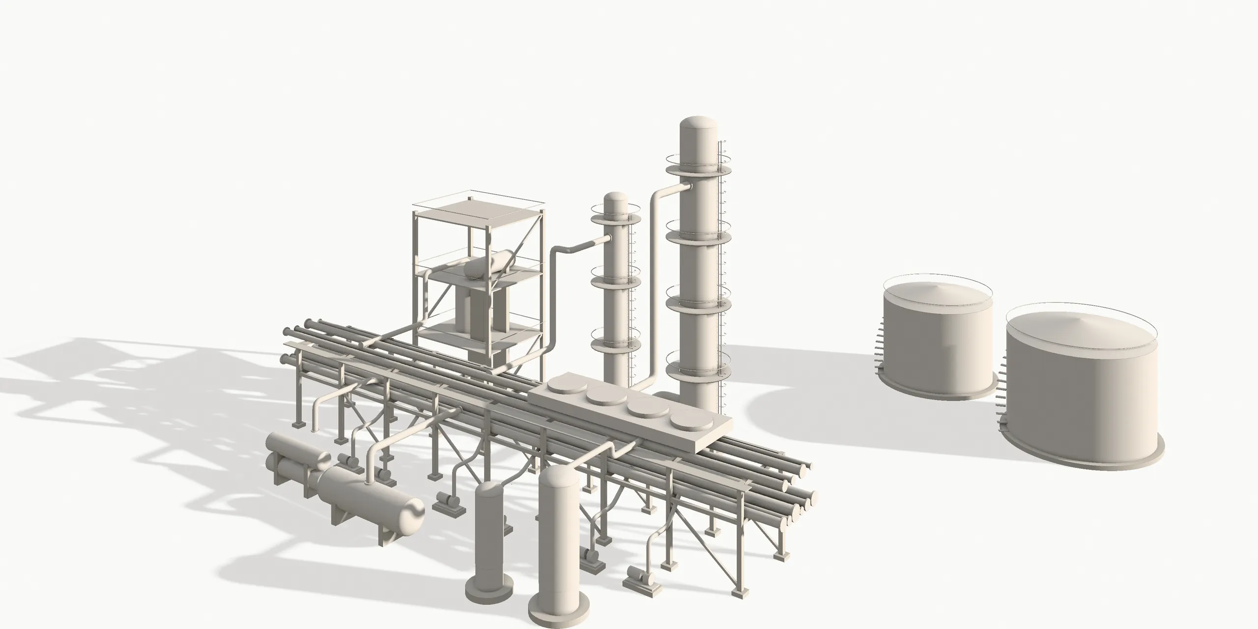
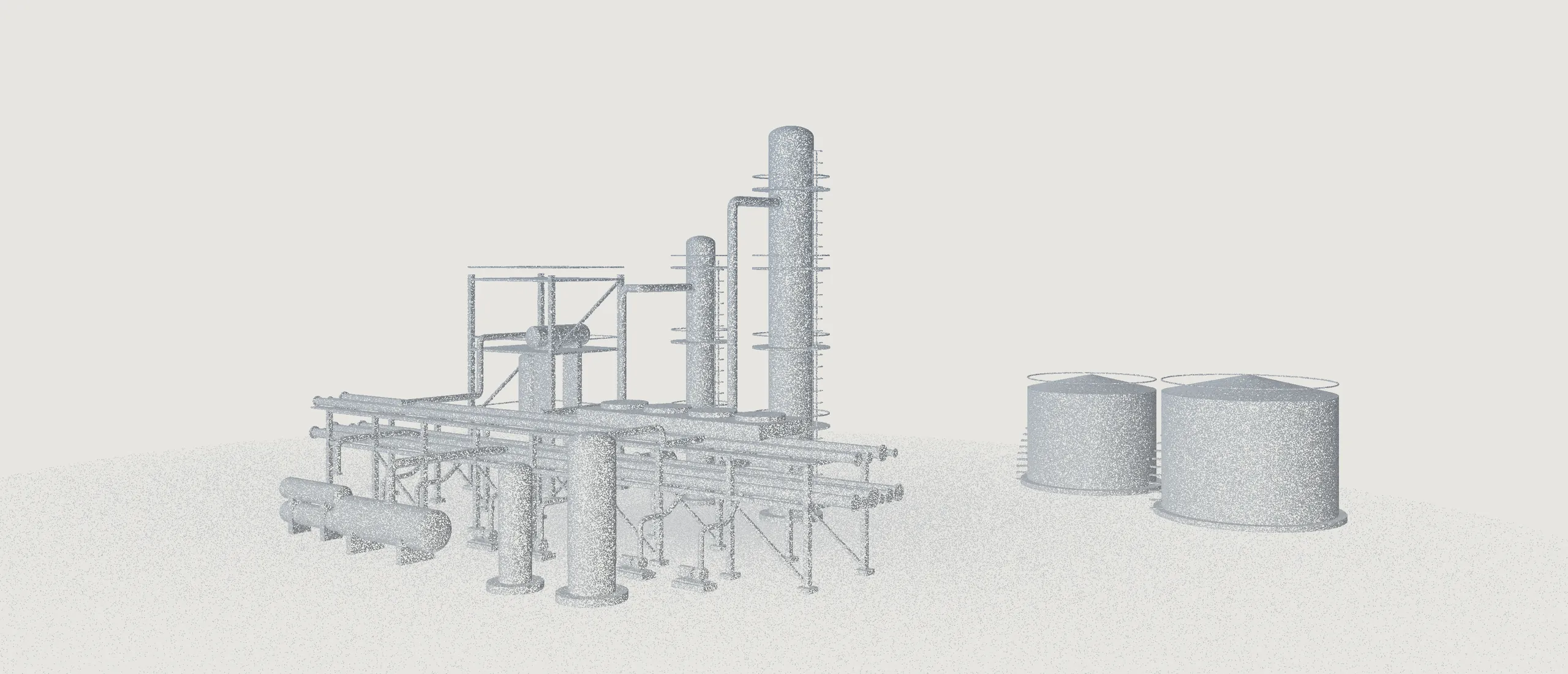
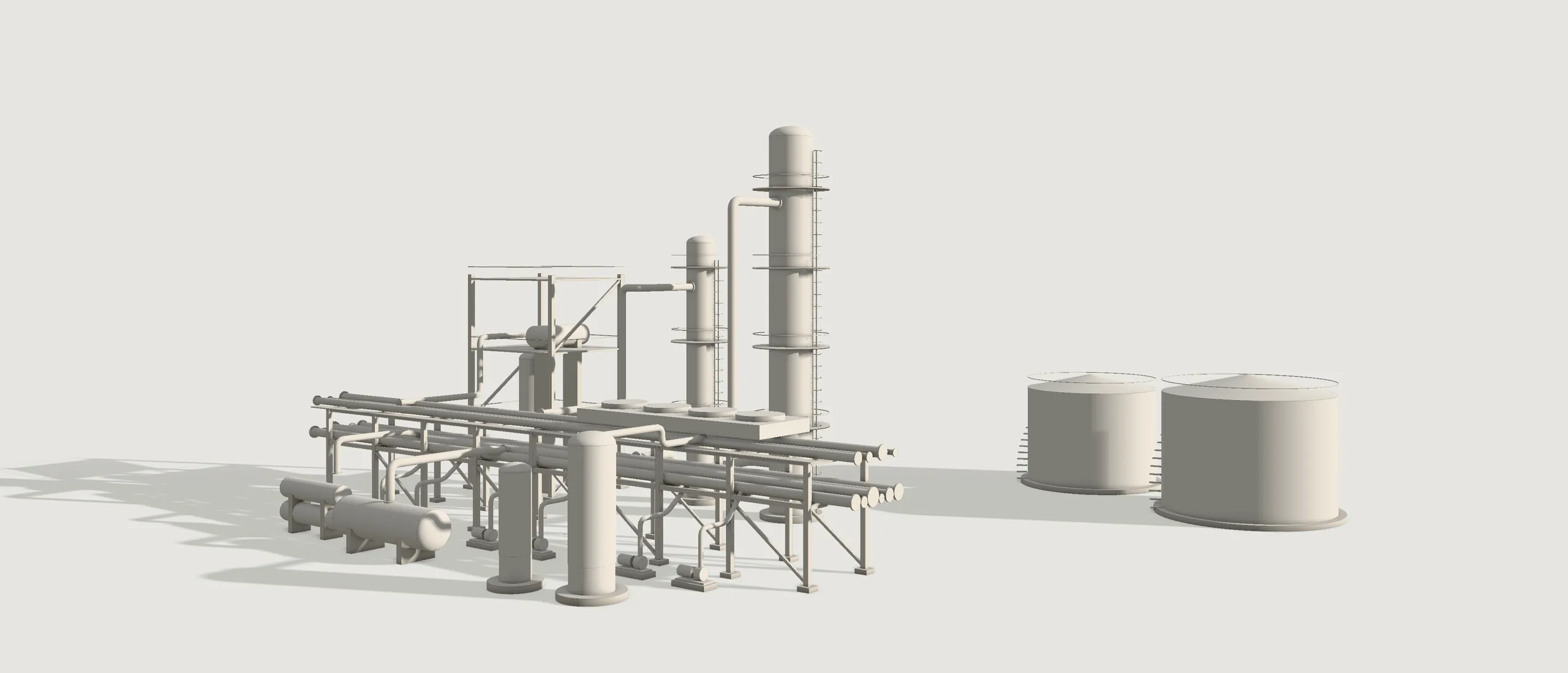
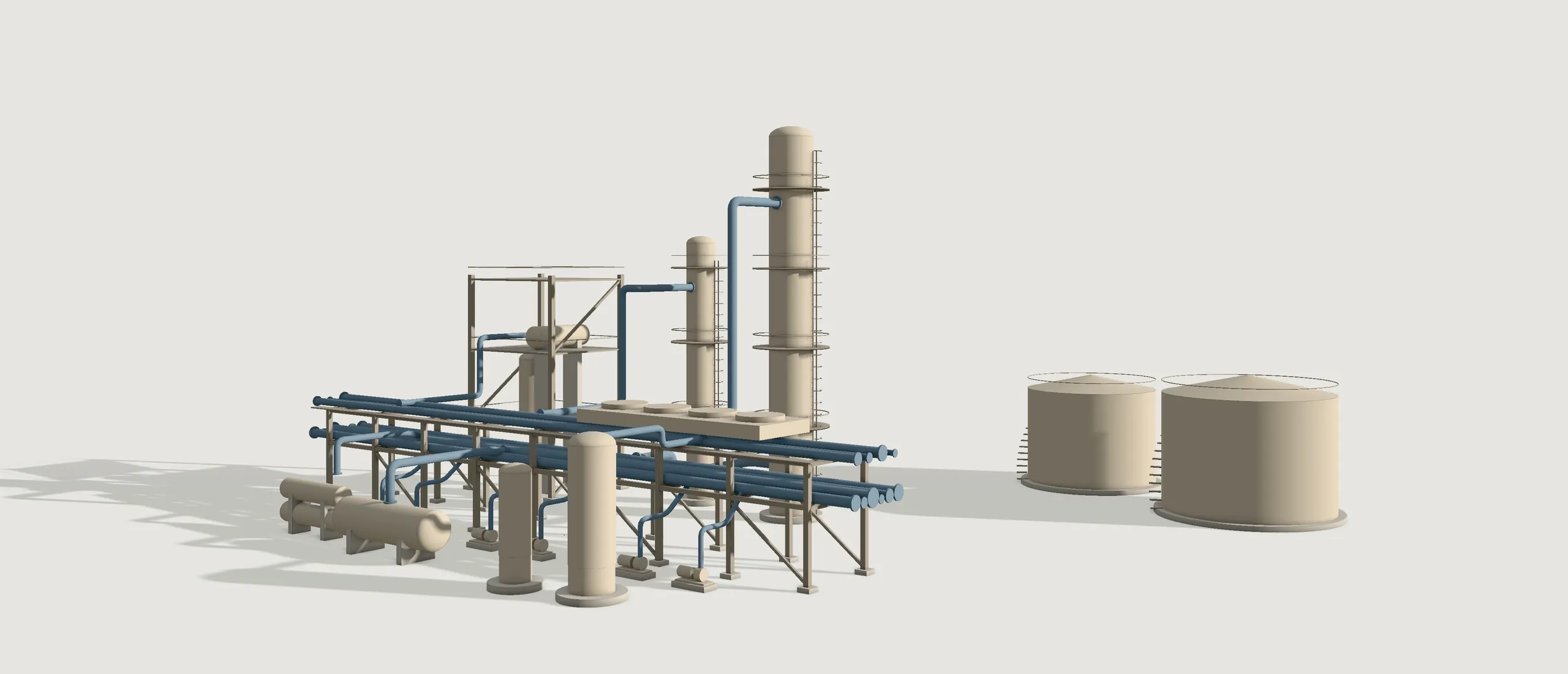
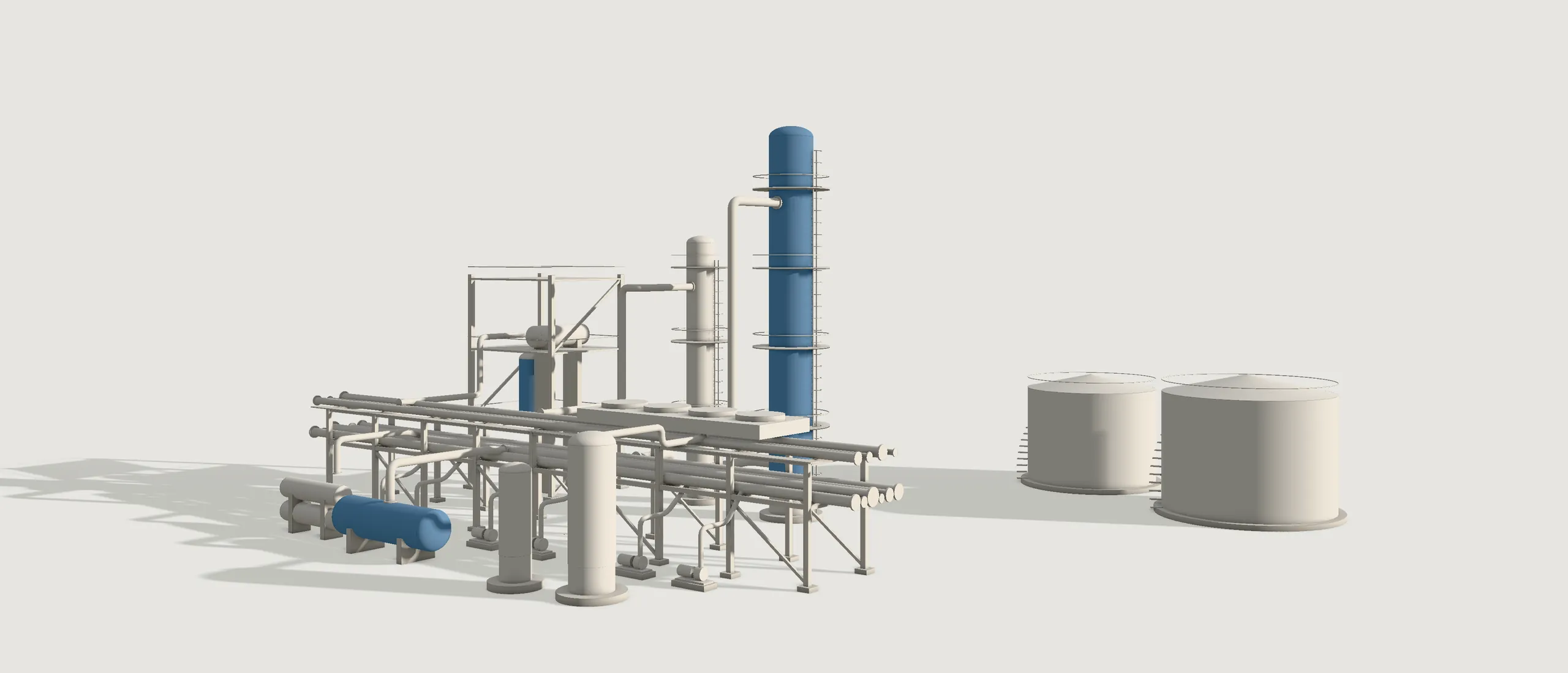
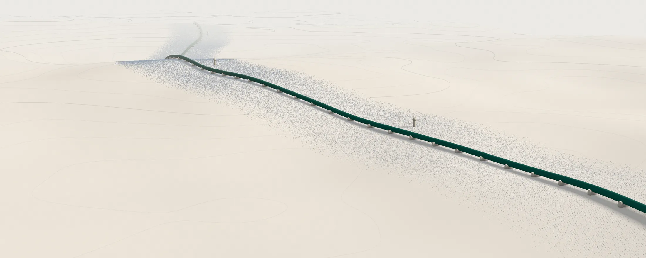
Cross-country piping corridor
2.79 kmscanned and modelled
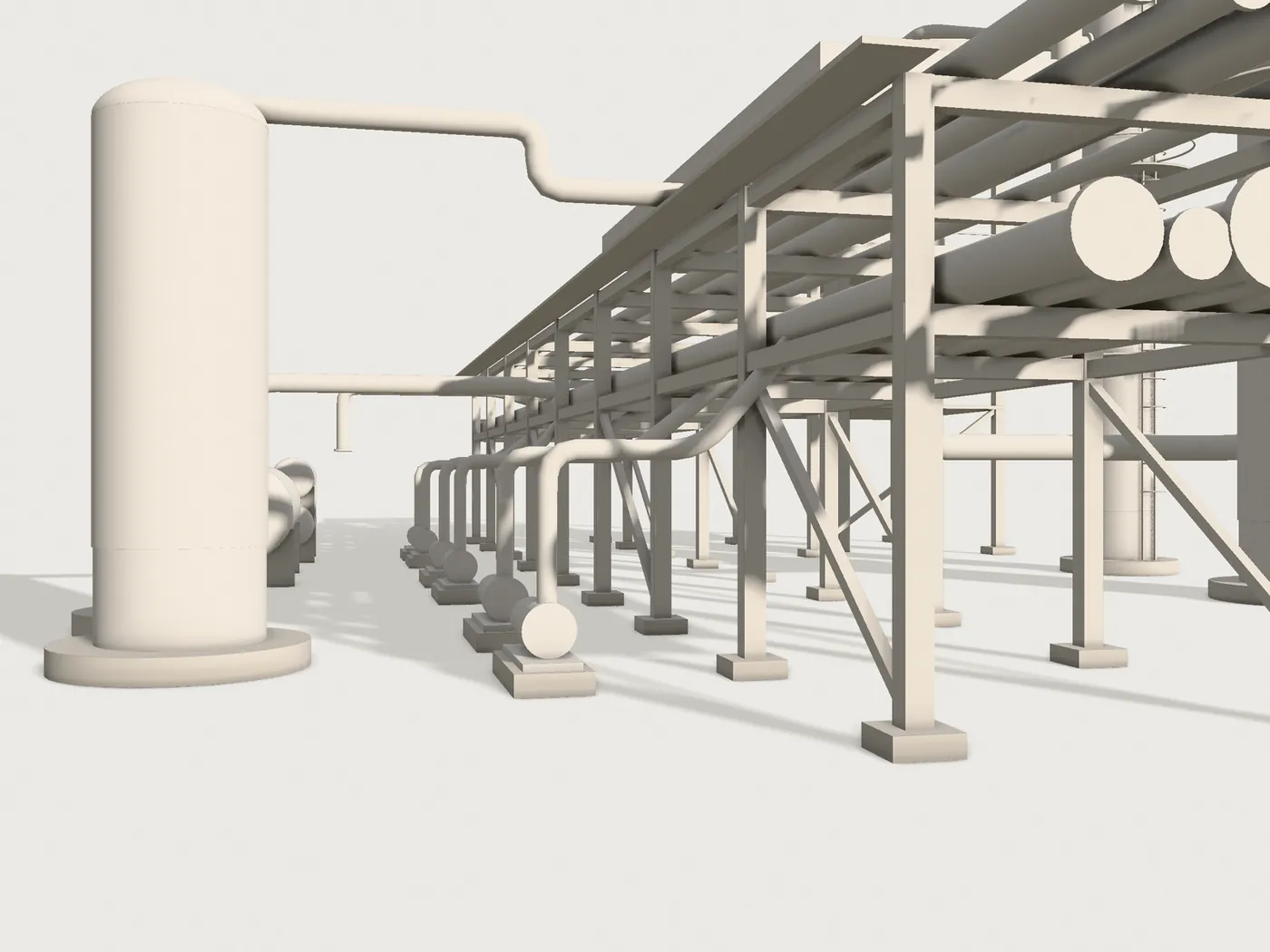
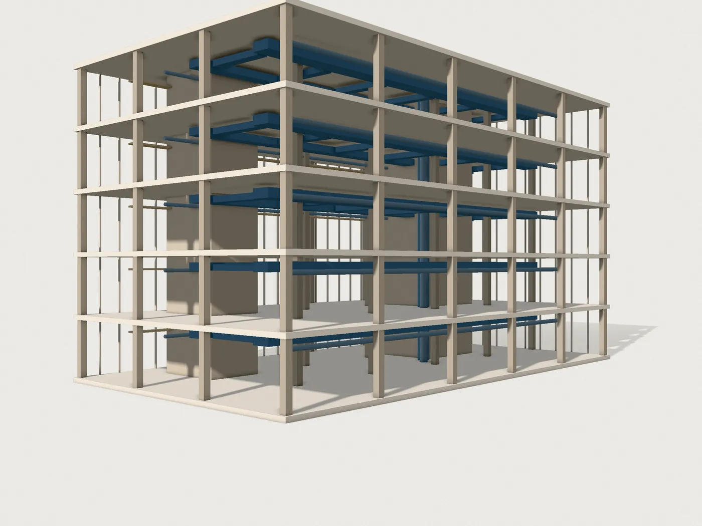
Captured once, reused throughout: a laser-scanned corridor delivered as one intelligent 3D and BIM model, with tagged line data for a brownfield tie-in study.
- Industry
- Oil and gas
- Location
- Confidential
- Scope
- Survey to BIM
- Technology
- Laser scanning, 3D modelling, BIM
- Deliverables
- Registered point cloud, IFC model, line list, tie-in report